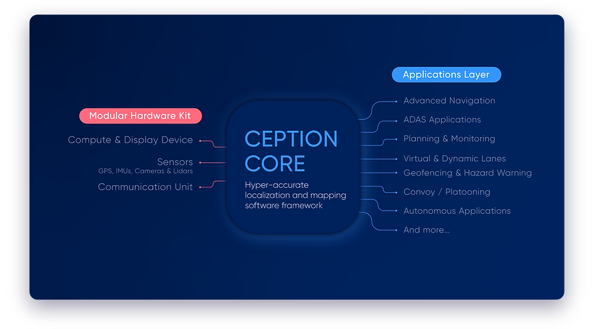
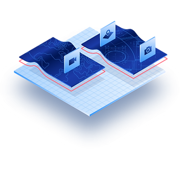
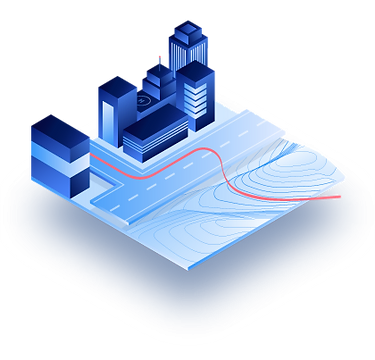
Our universal geospatial language represents elements with pinpoint
accuracy, cross-modality support, and cross-viewing angles. Thanks to this
approach, we can use any type of pre-existing available data, match it with
any type of vehicle sensors, and function in any type of scenario.